
Gunner's Coin
| Gunner's Coin | ||
|---|---|---|
 |
||
| Waters | Indian Ocean | |
| Geographical location | 19 ° 56 '28 " S , 57 ° 37' 14" E | |
|
||
| length | 1.3 km | |
| width | 1.1 km | |
| surface | 76 ha | |
| Highest elevation | 163 m | |
| Residents | uninhabited | |

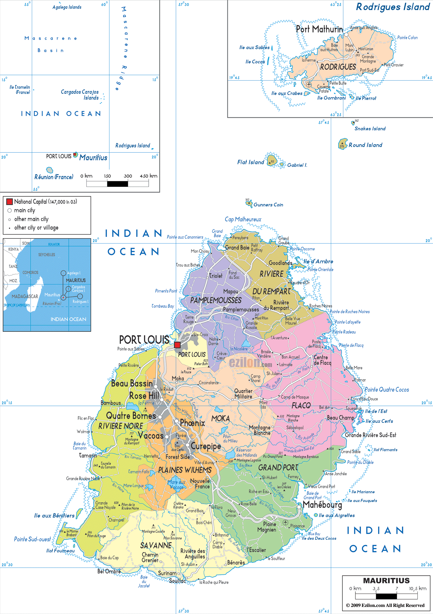
Gunner's Coin (also Gunner's Quoin ; French Coin de Mire ) is an uninhabited island eight kilometers off the north coast of Mauritius (in front of Cap Malheureux or the village of Anse la Raie). It has an area of 76 hectares and reaches a height of 163 meters. The island is often approached by diving boats, as, among other things, the underwater, steeply sloping cliffs ( The Wall ) are known as an attractive diving spot. Whale sightings are more common in the area around the island . The rock is 167 meters high at its highest point.
Individual evidence
Web links
Commons : Coin de Mire - collection of images, videos and audio files
- Encyclopaedia Mauritiana: Gunner's Quoin - Coin de Mire (English; accessed July 17, 2009)