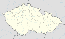
Jewish cemetery (Krásná Lípa)
Coordinates: 50 ° 5 ′ 52 " N , 12 ° 38 ′ 43.8" E
The Jewish cemetery in Krásná Lípa (German Schönlind ), a district of the Czech municipality of Rovná u Sokolova in Okres Sokolov in the Karlovarský kraj region , was probably established in the 19th century.
The oldest tombstone in the Jewish cemetery dates from 1784.
Web links
Commons : Jewish Cemetery (Krásná Lípa) - collection of pictures, videos and audio files


