Kutum
| Kutum | ||
|---|---|---|
| height | 1779 m | |
| location | Sudan | |
| Coordinates | 14 ° 34 ′ 12 ″ N , 25 ° 51 ′ 0 ″ E | |
|
|
||
| rock | Basalt and Picrobasalt | |
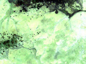
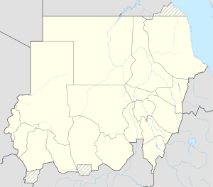
The Kutumfeld is a volcanic field in the north of the Darfur region in western Sudan .
The Kutumfeld, which consists of basalt cones, is located to the west of the larger Meidobfeld. Like other volcanic fields in the Sahara , the Kut area consists of very well-preserved cones, block lava and craters that are likely to date from the Late Pleistocene or Holocene . Stones from the Tertiary from the Tagabo field were found .
30,569 people live within a radius of 30 km from the volcano.
Individual evidence
- ↑ a b Global Volcanism Program | Kutum Volcanic Field. Retrieved May 18, 2018 .
- ^ G. Franz, C. Breitkreuz, DA Coyle, Bushra El Hur, W. Heinrich, H. Paulick, D. Pudlo, R. Smith, G. Steiner: The alkaline Meidob volcanic field (Late Cenozoic, northwest Sudan) . In: J African Earth Sci . tape 25 , no. 2 , August 1997, p. 263-291 .

