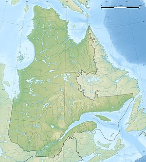
Lac Simard
| Lac Simard | ||
|---|---|---|
| Geographical location | Abitibi-Témiscamingue in Québec (Canada) | |
| Tributaries | Ottawa River , Riviere Winneway | |
| Drain | Ottawa River | |
| Islands | Île Winneway , Île Bryson | |
| Places on the shore | Laforce , Winneway | |
| Data | ||
| Coordinates | 47 ° 38 ′ N , 78 ° 41 ′ W | |
|
|
||
| surface | 170 km² | |
| length | 18 km | |
| width | 12 km | |
Lac Simard is a lake on the upper reaches of the Ottawa River in the Abitibi-Témiscamingue administrative region of the Canadian province of Québec .
Lac Simard is 25 km west of the Réservoir Decelles and 50 km east of Lac Témiscamingue . The lake forms a widening of the Ottawa River, 18 km long and up to 12 km wide. The water area is 170 km².
The community of Laforce and the Indian settlement of Winneway are on the south bank of Lac Simard.
