Laird Plateau
| Laird Plateau | ||
|---|---|---|
| location | Ross Dependency , Antarctica | |
| part of | Transantarctic Mountains | |
|
|
||
| Coordinates | 82 ° 0 ′ S , 157 ° 0 ′ E | |
|
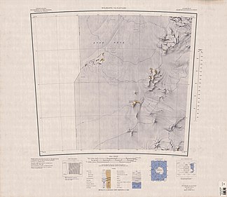
1964 map showing Laird Plateau in the far southeast |
||
|
Map of the Geologists Range , Laird Plateau in the far northeast |
||
The Laird Plateau is a small, over 2,400 m high plateau in the Antarctic Ross Dependency . It is located about 2 km northwest of Mount Hayter on the north side of the formation area of the Lucy Glacier .
It was discovered by participants in a campaign carried out from 1964 to 1965 as part of the New Zealand Geological Survey Antarctic Expedition , which they named after Malcolm Gordon Laird (1935-2015), the head of the geological team of the expedition in the area.
Web links
- Laird Plateau in the Geographic Names Information System of the United States Geological Survey (English)
- Laird Plateau on geographic.org (English)


