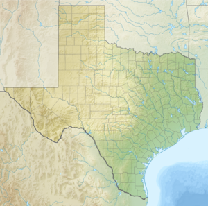
Lake Boehmer
|
Lake Boehmer Boehmer Lake |
||
|---|---|---|
| Geographical location | Pecos County , Texas , USA | |
| Tributaries | Groundwater | |
| Drain | none | |
| Location close to the shore | Imperial (Texas) | |
| Data | ||
| Coordinates | 31 ° 13 ′ 19 ″ N , 102 ° 43 ′ 45 ″ W | |
|
|
||
| width | 500 m | |
Lake Boehmer is a lake formed in 2003 near the city of Imperial , Texas .
Emergence
Lake Boehmer emerged from an abandoned oil well . The land subsided with the extraction of oil and gas, and groundwater surged to the surface from the well . The water is very salty and contaminated with hydrocarbons . The area around Lake Boehmer was monitored by the Sentinel-1 A / B satellites for 2½ years . During this time, the satellite radar images showed a subsidence of the area by around 2 to 3 centimeters. Road 1053 near the lake is sinking so quickly that it was closed in August 2016 due to safety concerns.
Individual evidence
- ↑ Jin-Woo Kim, Zhong Lu: Association between localized geohazards in West Texas and human activities, recognized by Sentinel-1A / B satellite radar imagery. In: Scientific Reports. 8, 2018, doi : 10.1038 / s41598-018-23143-6 .
