Lake Mendota
| Lake Mendota | ||
|---|---|---|

|
||
| Geographical location | Wisconsin , USA | |
| Tributaries | Yahara River | |
| Drain | Yahara River → Rock River | |
| Places on the shore | Madison | |
| Data | ||
| Coordinates | 43 ° 6 ′ N , 89 ° 25 ′ W | |
|
|
||
| Altitude above sea level | 259 m | |
| surface | 39.85 km² | |
| scope | 35.2 km | |
| Maximum depth | 25.3 m | |
| Middle deep | 12.7 m | |
|
particularities |
Well-known limnological research facility |
|
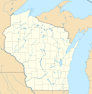
The Lake Mendota is located in the US state of Wisconsin and is bordered to the north of its capital, Madison . The lake is relatively small and shallow. It is fed by the Yahara River, which flows in in the north and flows out again in the southeast.
Lake Mendota became known through numerous limnological studies and research. It is considered one of the birthplaces of modern limnology .
Urban sewage has been discharged into the lake since the beginning of the 20th century . As a result, the lake increasingly suffered from eutrophication . From 1912 to 1958 attempts were made to use copper sulphate to control the overgrowth of algae in the lake. Although this effectively suppressed the algal bloom , the dissolved copper collected as insoluble copper carbonate in the lower layers of the sediment. Finally, part of the wastewater was diverted to the lakes further north. Over time, these lakes experienced the same fate: they too became eutrophic over time. Ultimately, to deal with the situation, the sewage was diverted to the Yahara River .
The ice period lasts about three and a half months in winter, with the entire lake being covered with a thick layer of ice. During the winter, the concentration of dissolved oxygen in the epilimnion is relatively high. During the summer, the dissolved oxygen concentration drops to 1–2 mg / l.
