Muko-jima
| Muko-jima | ||
|---|---|---|
| Aerial photo, 1978 | ||
| Waters | Pacific Ocean | |
| Archipelago | Ogasawara-guntō | |
| Geographical location | 27 ° 40 '55 " N , 142 ° 8' 24" E | |
|
|
||
| length | 2.3 km | |
| width | 1.5 km | |
| surface | 2.56 km² | |
| Highest elevation | Daisen ( 大 山 ) 88.4 m |
|
| Residents | uninhabited | |
| Map of the Mukojima-rettō archipelago | ||
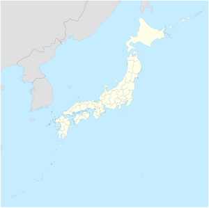
Muko-jima ( Japanese 聟 島 , literally: "Bridegroom Island") is the main island of the Japanese Mukojima Islands ( 聟 島 列島 , Mukojima-rettō ), the smallest and northernmost group of islands in the Ogasawara-guntō archipelago (formerly: Bonin Islands). Administratively, the island belongs to the municipality of Ogasawara in Tokyo Prefecture .
geography
The island is located in the center of the archipelago, around 70 km north of Chichi-jima in the neighboring group of Chichijima Islands . Muko-jima has an area of 2.56 km² and in the Daisen ( 大 山 , dt. "Big mountain") reaches a height of around 88 m above sea level. Muko-jima was inhabited until the Second World War and had 46 residents.
Web links
- The Mukojima Islands on oceandots.com ( Memento from December 23, 2010 in the Internet Archive ) (English)
- Information about Muko-jima with pictures (Japanese)
Individual evidence
- ↑ 島 面積 . (PDF; 144 kB) (No longer available online.) Kokudo Chiriin , October 1, 2014, archived from the original on April 2, 2015 ; Retrieved July 29, 2016 (Japanese). Info: The archive link was inserted automatically and has not yet been checked. Please check the original and archive link according to the instructions and then remove this notice.
- ↑ Ogasawara Islands in asahi-net (Japanese)


