Peloncillo Mountains
| Peloncillo Mountains | ||
|---|---|---|
| Highest peak | Gray Mountain ( 2113 m ) | |
| location | Arizona , New Mexico (USA) | |
| part of | Southeast Arizona Ranges | |
|
|
||
| Coordinates | 31 ° 53 ′ N , 108 ° 55 ′ W | |
| surface | 5,072 km² | |
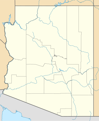
The Peloncillo Mountains are up to 2,113 m high in eastern Arizona (60%) and western New Mexico (40%). The mountain range belongs to the Southeast Arizona Ranges and extends over 174 kilometers north-south and 76 kilometers east-west. The area is 5072 km². The highest point is Gray Mountain in New Mexico with a height of 2113 m .
mountains
| Surname | State | height |
|---|---|---|
| Gray Mountain | New Mexico | 2113 m |
| Guthrie Peak | Arizona | 2004 m |
| Peloncillo Mountains | Arizona | 1987 m |
| Whitlock Peak | Arizona | 1893 m |
| Whitlock Mountains High Point | Arizona | 1732 m |
Web links
- Gray mountain on summitpost.org (English)

