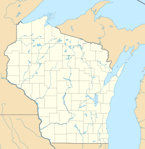
Peterkin Pond
| Peterkin Pond | ||
|---|---|---|
| Geographical location | Wisconsin , United States | |
| Tributaries | (without) | |
| Drain | North Branch Nippersink Creek | |
| Location close to the shore | Pell Lake | |
| Data | ||
| Coordinates | 42 ° 31 '27 " N , 88 ° 24' 45" W | |
|
|
||
| Altitude above sea level | 272 m | |
| surface | 9.7 ha | |
The Peterkin Pond is a lake in Walworth County in the US state of Wisconsin in the United States . It was formed at the end of the last ice age and is now in an intensely agricultural area, about three kilometers west of Pell Lake and represents the remainder of a moor area . The lake feeds the North Branch Nippersink Creek as the only drain.
The lake has a swampy, indistinct shoreline, and several islands are currently being created from what were once sandbanks and shallow water zones. The height above sea level is 272 meters, its area 9.7 hectares.
Individual evidence
- ↑ GNIS information
- ^ Wisconsin Lakes: Peterkin Pond, Walworth County
