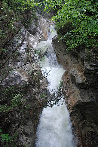
Rindbach Falls
| Rindbach Falls | ||
|---|---|---|
|
Rindbach Falls |
||
| Coordinates | 47 ° 48 '12 " N , 13 ° 48' 54" E | |
|
|
||
| place | Ebensee am Traunsee , Upper Austria , Austria | |
| flow | Rindbach → Traunsee | |
The Rindbach Falls are a waterfall with several steps, the largest of which is around 10 m high. They are located in the municipality of Ebensee am Traunsee in Upper Austria and were designated as a natural monument in 1983 ( list entry ). The waterfalls lie on the border between the Adnet Formation from the Lias and the plate limestone from the Norium . After the ice melted approx. 17,000 years ago, the Rindbach first cut into the heaped gravel and finally into the limestone below.
literature
- Hans Egger: Explanations to sheet 66 Gmunden . Federal Geological Institute, Vienna 2007 PDF Online

