San Carlos Lake
| San Carlos Lake / San Carlos Reservoir Coolidge Dam |
|||||||
|---|---|---|---|---|---|---|---|
|
|||||||
|
|
|||||||
| Coordinates | 33 ° 11 ′ 16 " N , 110 ° 28 ′ 20" W | ||||||
| Data on the structure | |||||||
| Construction time: | 1924-1928, 1992-1994 | ||||||
| Height above foundation level : | 76 m | ||||||
| Height of the structure crown: | 772.76 m | ||||||
| Building volume: | 152 910 m³ | ||||||
| Crown length: | 177 m | ||||||
| Data on the reservoir | |||||||
| Altitude (at congestion destination ) | 765.35 m | ||||||
| Water surface | 79 km² | ||||||
| Reservoir length | 37 km | ||||||
| Reservoir width | 3 km | ||||||
| Storage space | 1.122 km³ | ||||||
| Catchment area | 33 333 km² | ||||||
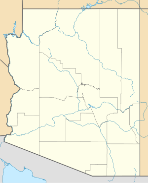
The San Carlos Lake or San Carlos Reservoir is a 79 km² reservoir in the 7769 km² San Carlos Apache Indian Reservation in the US state of Arizona .
The reservoir has a length of 37 km and a width of 3 km. It was created when the Gila River was dammed by the Coolidge Dam ( ⊙ ) in 1930. The lake is visited by tourists for the beauty of the landscape and for fishing.
Web links
- San Carlos Reservoir in the United States Geological Survey's Geographic Names Information System
- Coolidge Dam in the United States Geological Survey's Geographic Names Information System
- www.americansouthwest.net/arizona/san_carlos_lake/
- http://www.usbr.gov/dataweb/dams/az10436.htm Data sheet of the USBR

