Santa Gertrudis de Fruitera
| Municipality of Santa Eulària des Riu: Santa Gertrudis | ||
|---|---|---|
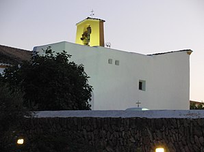
 Church of Santa Gertrudis
|
||
| coat of arms | Map of Spain | |
 Help on coat of arms |
|
|
| Basic data | ||
| Autonomous Community : | Balearic Islands | |
| Island: | Ibiza | |
| Comarca : | Ibiza | |
| Coordinates | 39 ° 0 ′ N , 1 ° 26 ′ E | |
| Residents : | 2.184 (2011) INE | |
| Postal code : | 07814 | |
| Area code: | 07054000500 | |
Santa Gertrudis de Fruitera is a town in the district ( municipality ) Santa Eulalia on the Spanish Balearic island of Ibiza . In 2011, 480 inhabitants lived in the center and another 1704 in the area. Santa Gertrudis developed from a farming village into a popular place of residence for foreigners with the appropriate infrastructure: bars, restaurants, galleries, antique shops.
Festivals
- November 16: Patronage festival
Web links
Commons : Santa Gertrudis de Fruitera - Collection of images, videos and audio files
Individual evidence
- ↑ Population statistics for Santa Gertrudis of the Instituto Nacional de Estadística español (INE). Retrieved on December 15, 2012 (English / Spanish).
