Schwarzenberg (Waldenburger Bergland)
| Schwarzenberg | ||
|---|---|---|
|
Schwarzenberg ( Borowa ) on the left and Dürrenberg ( Sucha ) on the right - view from the Horn Castle |
||
| height | 853 m npm | |
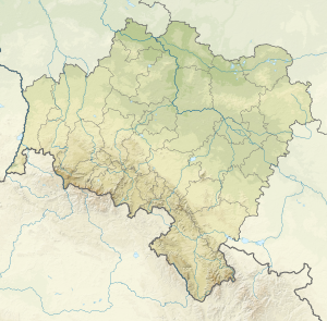
| location | Lower Silesia , Poland | |
| Coordinates | 50 ° 43 '22 " N , 16 ° 18' 16" E | |
|
|
||
The Schwarzenberg ( Borowa in Polish ) is at 853.3 m the highest peak in the Waldenburger Bergland in the Central Sudetes . The Neuhaus Castle ( Zamek Nový Dwór ) is located below the Schwarzenberg on the Schlossberg .
description
The Schwarzenberg has a distinctive summit thanks to its relatively high altitude and steep slopes. In the second half of the 20th century there was a wooden triangulation tower on the summit . It is not known when this tower was demolished. The mountain top is made of igneous rocks of red rhyolite and tuff and melaphyren , a testimony to earlier volcanic activity.
To the northeast is the Dürre Berg ( Sucha ), to the north the Kahle Berg ( Kosciol ) and the Kaudersberg ( Wołowiec ).
The Polish name Borowa was set in 1949 to replace the previous German name.
Web links
Individual evidence
- ↑ Geoportal.gov.pl . Retrieved October 16, 2015.
- ↑ Wieża Widokowa (stalowa) - zdjęcia. Retrieved December 13, 2019 .


