Seaton Sluice
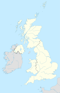
Seaton Sluice on the United Kingdom map |
Seaton Sluice is a place in Northumberland with 3,081 inhabitants. It is on the coast at the mouth of the Seaton Burn River , halfway between Whitley Bay and Blyth .
history
Seaton Sluice was an industrial site during the 18th century. Coal was shipped from the port, and to improve shipping access, a new access to the sea (the cut) was excavated in the 1760s , creating an island called Rocky Island . This was done by the Delaval family, who owned a lot of land in the area. The village was also home to a bottle factory. By the 19th century, the port became too small for the industry and coal trade that had moved to Tyneside and Blyth . An attempt in the early 20th century to develop the village into a tourist destination failed because the construction of a partially completed railway line was abandoned during the First World War .
Attractions
Seaton Delaval Hall, built by Sir John Vanbrugh, is in a suburb of Seaton Sluice, on the road to Seaton Delaval .
Holywell Dene , the tree-lined valley through which the Seaton Burn flows in Seaton Sluice, is the site of a larger building called Starlight Castle , built by the Delaval family.
Coordinates: 55 ° 5 ′ N , 1 ° 29 ′ W
