Shire highlands
| Shire highlands | |
|---|---|
| Highest peak | Zomba Plateau ( 2087 m ) |
| location | Malawi |
| Coordinates | 15 ° 39 ′ S , 35 ° 8 ′ E |
Shire highlands |
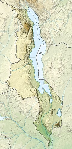
The Shire Highlands are an elongated, approximately 130 km long mountain range along the Shire River from Bangula in the south to Liwonde in the north. Essentially, it is a long plateau at an altitude of about 900 m from which mountains such as the Thyolo 1462 m , the Soche 1533 m , the Ndirande 1612 m , the Chiradzulu 1773 m and the Zomba Plateau with over 2000 m rise from south to north .
Because of its temperate climate (comparable to northern Italy) and the monsoons that cause most of the springs in the Shire highlands to gush all year round, the once almost uninhabited mountain ridge was very popular with the British, who soon cultivated tea , wood and grain there Plantation economy operated. It is no coincidence that the economic center of Malawi, Blantyre , is located there.
In addition to Blantyre, the Zomba Plateau above the city of the same name is interesting for tourists, where you can hike across wide grassy areas and through dense forests. The steep slope into the Shire valley allows a panoramic view. Like the Mulanje , it is a popular destination.


