Skaftafellsfjöll
| Skaftafellsfjöll | ||
|---|---|---|
|
Skaftafellsfjöll from the southwest |
||
| Highest peak | Blátindur ( 1177 m ) | |
| location | Iceland | |
|
|
||
| Coordinates | 64 ° 5 ′ N , 17 ° 5 ′ W | |
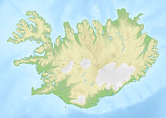
The Skaftafellsfjöll are a mountain range in the south of Vatnajökull in Iceland .
It is located east of the Skeiðarárjökull and the Morsárjökull and Morsárdalur in the Vatnajökull National Park and previously belonged to the former Skaftafell National Park . The highest point is the Blátindur with 1177 meters. There are hot springs on a slope of Skerholl.

