Vilkija
| Vilkija | ||
|
||
| State : |
|
|
| Coordinates : | 55 ° 3 ' N , 23 ° 35' E | |
| Area (place) : | 2.7 km² | |
| Inhabitants (place) : | 1,966 (2017) | |
| Population density : | 728 inhabitants per km² | |
| Time zone : | EET (UTC + 2) | |
| Postal code : | LT-54015 | |
|
|
||
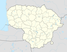
Vilkija is a Lithuanian town with 1966 inhabitants in the district municipality of Kaunas , on the KK141 highway , 25 km northwest of Kaunas , on the right bank of the Memel .
There is a high school in the village.
history
In 1364 Wilkenbethe was mentioned in a document. In 1369 the Vilkija Castle (Castle Paštuva ) was destroyed. In 1450 there was the customs office in Vilkija. In 1908 the Catholic neo-Gothic church in Vilkija was built, and in 1919 the first school was built. Since 1939 there has been a library, a high school for folk crafts, the Vilkija agricultural school and a nursing hospital.
people
- Petras Cvirka (1909-1947), author
literature
- Lietuvos valdovai (XIII-XVIII a.). - Vilnius: Mokslo ir enciklopedijų Leidybos institutas, 2004. - 123 p.
Web links
Commons : Vilkija - collection of images, videos and audio files


