Waterlooville
Coordinates: 50 ° 53 ′ N , 1 ° 1 ′ W
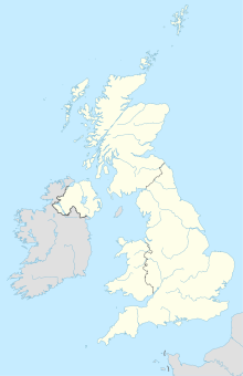
Waterlooville is a town in the Havant District in Hampshire , England, around 13 km north of Portsmouth . The actual city has about 10,000 inhabitants; together with the communities of Denmead, Hambledon, Horndean and Widley, with which Waterlooville has grown together to form the South Hampshire conurbation and which extend north-south along the A3, results in a population of about 45,000.
history
According to a local tradition, the name of the place comes from a local pub called Heroes of Waterloo ; this pub was in a place called the Waitland End and was visited in 1815 by soldiers who had just returned from the last campaign against Napoleon Bonaparte , which ended with the victory at Waterloo . These soldiers wanted to celebrate the victory properly after landing in nearby Portsmouth , stopped at the pub and are said to have settled around this pub that was renamed Heroes of Waterloo for the occasion . This original pub was near what is now the city's bus station; a pub of the same name was later opened elsewhere in town.
The city center has been a pedestrian zone since 1985, at the same time the Maurepas Way was expanded to become a bypass. The construction of the A3 from Portsmouth to London has also helped to relieve traffic in the city center.
military
Air Training Corps Squadron 2260 is stationed in Forest End.
education
The city has 4 elementary schools, 2 high schools and 2 colleges.
