Tabacundo: Difference between revisions
Content deleted Content added
No edit summary Tags: Mobile edit Mobile web edit |
Bot: Removing c:File:Escudo Pedro Moncayo.jpg , deleted by Bedivere (Copyright violation; see Commons:Licensing (F1) (Not exempt from Ecuadorian copyright protection)). |
||
| (2 intermediate revisions by 2 users not shown) | |||
| Line 12: | Line 12: | ||
<!-- images and maps -----------> |
<!-- images and maps -----------> |
||
| image_flag = Flag of Pedro Moncayo.svg |
| image_flag = Flag of Pedro Moncayo.svg |
||
| image_seal = |
| image_seal = |
||
| image_skyline = |
| image_skyline = Tabacundo.jpg |
||
| image_map = |
| image_map = |
||
| map_caption = |
| map_caption = |
||
| Line 94: | Line 94: | ||
==References== |
==References== |
||
{{Reflist}} |
{{Reflist}} |
||
{{Canton seats in Pichincha}} |
{{Canton seats in Pichincha}} |
||
{{Authority control}} |
|||
[[Category:Populated places in Pichincha Province]] |
[[Category:Populated places in Pichincha Province]] |
||
Latest revision as of 21:27, 8 April 2024
Tabacundo | |
|---|---|
Town | |
 | |
| Coordinates: 0°03′N 78°12′W / 0.050°N 78.200°W | |
| Country | |
| Province | Pichincha |
| Canton | Pedro Moncayo |
| Creation of the municipality | 1911-09-26 |
| Urban parishes | Tabacundo |
| Area | |
| • Town | 3.08 km2 (1.19 sq mi) |
| Population (2022 census)[1] | |
| • Town | 13,019 |
| • Density | 4,200/km2 (11,000/sq mi) |
| Demonym(s) | Tabacundeño, -a |
| Time zone | UTC-5 (ECT) |
| Postal code | EC1704 (new format), P04 (old format) |
| Area code | 593 2 |
| Climate | Csb |
| Website | http://www.pedromoncayo.gov.ec |
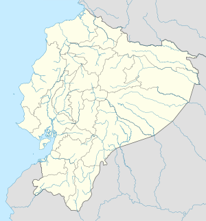
Tabacundo is the seat of Pedro Moncayo Canton, Pichincha Province, Ecuador. Tabacundo is located on the southeastern foothills of Mojanda Volcano northeast of the city of Quito and west of the city of Cayambe.
References[edit]
- ^ Citypopulation.de Population and area of Tabacundo


