Letpadan: Difference between revisions
Content deleted Content added
No edit summary |
dead |
||
| Line 22: | Line 22: | ||
| unit_pref = Imperial |
| unit_pref = Imperial |
||
| area_code = 54 |
| area_code = 54 |
||
| footnotes = <ref>{{Cite web| url=http://www.myanmars.net/myanmar/telephone-area-codes.htm | title= National Telephone Area Codes | publisher=Myanmar's Net}}</ref> |
| footnotes = <ref>{{Cite web| url=http://www.myanmars.net/myanmar/telephone-area-codes.htm | title= National Telephone Area Codes | publisher=Myanmar's Net}}{{dead link|date=July 2018}}</ref> |
||
| area_total_km2 = |
| area_total_km2 = |
||
| elevation_m = |
| elevation_m = |
||
Revision as of 10:44, 1 July 2018
Letpadan | |
|---|---|
Town | |
| Coordinates: 17°47′11.9″N 95°45′02.7″E / 17.786639°N 95.750750°E | |
| Country | |
| Region | |
| District | Tharrawaddy |
| Township | Letpadan |
| Time zone | UTC+6.30 (MST) |
| Area code | 54 |
| [1] | |
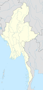
Letpatan or Letpadan[2] is a town in Tharrawaddy District, Pegu region in Burma (Myanmar). It is the administrative seat of Letpadan Township.
References
External links


