Agua Blanca (Venezuela)
| Agua Blanca | ||
|---|---|---|
|
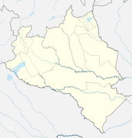
Coordinates: 9 ° 41 ′ N , 69 ° 6 ′ W Agua Blanca on the map of Portuguesa
|
||
| Basic data | ||
| Country | Venezuela | |
| State | Portuguesa | |
| City foundation | 1724 | |
| Residents | 21,506 | |
| Detailed data | ||
| Time zone | UTC -4.5 | |
Agua Blanca is a village in Portuguesa , Venezuela . It is the administrative seat of the district of the same name Agua Blanca .
Santa Bárbara de Agua Blanca was founded on the banks of the Sarare River by the priest Miguel de Olivares in November 1724. De Olivares built a so-called Indian village there with families of the Guamos and Atapaimas. The civil administrator was the captain Ignacio Sánchez.
Agriculture is the most important industry in the region.
