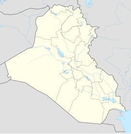
Amara (Iraq)
| Amara | ||
|---|---|---|
| location | ||
|
|
||
| Coordinates | 31 ° 50 ′ N , 47 ° 9 ′ E | |
| Country |
|
|
| Governorate | Maisan | |
| Basic data | ||
| height | 10 m | |
| Residents | 340,000 | |
Amara (also written al-'Amarah or Amarah; Arabic العمارة, DMG al-ʿAmāra ) is a city located in the southeast of Iraq , near the Tigris River, south of Baghdad . The city had a population of around 340,000 in 2002, the majority of whom were Shiites . It is the administrative capital of Maisan Province .
history
Amara was founded in 1860 as a military base for the Ottomans . In 1915, Amara was captured by the British. Before 1958, Amara was known for its feudal system . Before and during the invasion of Iraq in 2003, the city was known as a center of resistance against Saddam Hussein .
In October 2006 the city came under the control of Shiite insurgents.
