Arthurs Lake
| Arthurs Lake | ||
|---|---|---|
| Geographical location | Tasmania ( Australia ) | |
| Tributaries | Tumbledown Creek, several streams and rivulets | |
| Drain | Upper Lake River | |
| Data | ||
| Coordinates | 42 ° 0 ′ S , 146 ° 54 ′ E | |
|
|
||
| Altitude above sea level | 951 m | |
| surface | 97 km² | |
| length | 13.5 km | |
| width | 9 km | |
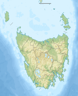
The Arthurs Lake is a lake in the center of the Australian state of Tasmania .
It is located on the southern edge of the Great Western Tiers , a mountain range in the central highlands of Tasmania. The Tumbledown Creek enters at its north shore and forms in it, along with various streams and rivulets, the Upper Lake River , leaving the lake to the south.
Sources and web links
- Arthurs Lake - TAS . ExplorOz.com
- Map of Arthurs Lake, TAS . Bonzle.com
- Steve Parish: Australian Touring Atlas . Steve Parish Publishing, Archerfield QLD 2007. ISBN 978-1-74193-232-4 . Pp. 59 + 61
