Bicurga
| Bicurga | ||
|---|---|---|
|
|
||
| Coordinates | 1 ° 35 ′ N , 10 ° 28 ′ E | |
| Basic data | ||
| Country | Equatorial Guinea | |
| ISO 3166-2 | GQ | |
| height | 701 m | |
| Residents | 2318 (2008) | |
Bicurga is a place and an administrative district in Equatorial Guinea . In 2008 the district had a population of 2,318 people.
location
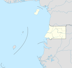
The city is located in the Centro Sur province on the mainland part of the state. The place is an important stage on the route between Evinayong in the center of the province and Niefang in the north of the province.
climate
The city, which is close to the equator, has a tropical climate.
