Picture card

Panoramic map of Yellowstone seen from the north by Heinrich C. Berann
The following cartographic representations are referred to as picture maps :
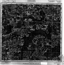
- Aerial, satellite and radar image maps : image recordings that have been rectified and graphically provided with topographical content (e.g. transport network, contour lines) and text.
- Panorama maps with an aerial image-like effect, mostly drawn in an oblique bird's-eye view. These are often used as a clear overview in tourist areas (e.g. alpine panorama, ski areas). Due to the lack of scale, they are classed as map-related representations.
- Historical picture plans of cities and landscapes (e.g. the picture map of Frankfurt 1864 drawn by Friedrich Wilhelm Delkeskamp, Rhine panorama since 1822) based on vivid geographical representations from a bird's eye view through the parallel projection .
- Pictorial city maps , e.g. B. Bollmann picture cards include the third dimension in the graphic representation. The structure of the drawn maps corresponds to conventional city maps, but the buildings are shown at an angle from a bird's eye view.
- Thematic cards that use naturalistic pictorial elements as the main design element. E.g. in children's atlases.
Web links
Commons : Picture cards - collection of pictures, videos and audio files

