Bishop Island
| Bishop Island | ||
|---|---|---|
| Waters | Labrador Sea | |
| Archipelago | Canadian Arctic Archipelago | |
| Geographical location | 63 ° 37 '59 " N , 68 ° 45' 0" W | |
|
|
||
| length | 6 km | |
| Highest elevation | 100 m | |
| Residents | uninhabited | |
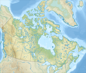
Bishop Island is an island in the Canadian Arctic Archipelago . It is located 500 m off the coast of Baffin Island in Frobisher Bay and is part of the Nunavut Territory . Its capital, Iqaluit , is about 13 km northeast. Bishop Island is irregularly shaped, has numerous small lakes and is up to 100 m high. The maximum diameter is about 6 km. Hill Island and Faris Island are in the immediate vicinity of the island .
The island was named by the US polar explorer Charles Francis Hall .
Individual evidence
- ↑ Douglas Stenton: Who was Sylvia Grinnell? ( Memento of the original from March 4, 2016 in the Internet Archive ) Info: The archive link was inserted automatically and has not yet been checked. Please check the original and archive link according to the instructions and then remove this notice. Nunatsiaq News, August 1, 1997. Retrieved May 15, 2012
