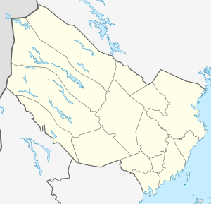
Bygdeträsket
| Bygdeträsket | ||
|---|---|---|

|
||
| Geographical location | Västerbotten , Sweden | |
| Tributaries | Kvarnbysån , Sikån , Tallån | |
| Drain | Rickleån | |
| Places on the shore | Bygdsiljum | |
| Data | ||
| Coordinates | 64 ° 24 '55 " N , 20 ° 27' 0" E | |
|
|
||
| Altitude above sea level | 131.8 m above sea level | |
| surface | 29.27 km² | |
| Maximum depth | 90 m | |
| Catchment area | 1350 km² | |
Bygdeträsket is the largest lake in the historic Swedish province of Västerbotten , which is part of Västerbotten County .
The Rickleån drain flows into the Bottenwiek . Most of the water is in the lake between December and May. In the summer months there is significantly less water in the lake. At its deepest point, the lake is around 90 meters deep.

Satellite image of the Bygdeträsket from NASA World Wind .
Individual evidence
- ↑ Sjöareal och sjöhöjd (3.32 MB; PDF) , Svenskt vattenarkiv (SVAR), Sveriges meteorologiska och hydrologiska institut (Swedish)
- ↑ VattenWeb , Sveriges meteorologiska och hydrologiska institut (Swedish)
