Cabo San Pío
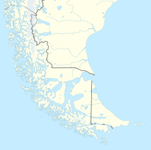
Location of Cabo San Pío |
The Cabo San Pío (German: St. Pius Cape ) is the southernmost point of the Isla Grande de Tierra del Fuego , the main island of Tierra del Fuego Islands . After the small island of Islote Blanco , which is about one and a half kilometers to the southwest, the cape also represents the southernmost point of Argentina .
Cabo San Pío is located at the east end of the Beagle Channel and has the eight meter high lighthouse Faro Cabo San Pío from 1919. The red and white striped brick tower has an outside staircase and is shaped like a cone . Its two light beams every 16 seconds are characteristic. The range is 17 km.
Web links
- Faro Cabo San Pío (Spanish) ( Memento of August 11, 2014 in the Internet Archive )
- Cabo San Pío lighthouse ( Memento of September 27, 2007 in the Internet Archive )
Coordinates: 55 ° 3 ′ 0 ″ S , 66 ° 31 ′ 0 ″ W.
