Cap Cerbère
| Cap Cerbère | ||
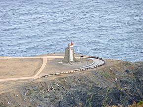
 The Cap Cerbère with the lighthouse |
||
| Geographical location | ||
|
|
||
| Coordinates | 42 ° 26 '52 " N , 3 ° 10' 9" E | |
| Waters 1 | Mediterranean Sea | |
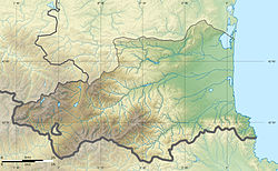
The Cap Cerbère is the southernmost cape in France . It is located on the Côte Vermeille and belongs to the municipality of Cerbère .
Location description
The Cap Cerbère is in front of the Bay of Cerbère around 1000 meters east. The coast is relatively steep and rocky, tattered rock spurs jut out to the east-southeast into the sea. The surface of the cape is plateau-like and flat. The solar-powered lighthouse is also located here, which can be easily reached via a road that branches off to the left from the D 914 (in the direction of Portbou ).
geology
The geological subsoil of Cap Cerbère is made up of Paleozoic slates from the Albères massif . The rocks metamorphosed towards the end of the Variscid mountain formation in the Upper Carboniferous around 300 million years BP are older than 470 million years BP and belong to the chlorite zone of the green slate facies . Their regional foliation strikes east-southeast to southeast.


