Cartier Island
| Cartier Island | ||
|---|---|---|
| NASA image of Cartier Island | ||
| Waters | Timor Sea ( Indian Ocean ) | |
| Geographical location | 12 ° 31 '50.8 " S , 123 ° 33' 18.8" E | |
|
|
||
| surface | 5 ha | |
| Residents | uninhabited | |
| Map of the Ashmore and Cartier Islands | ||
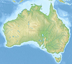
The Cartier Island is a small uninhabited island in the Timor Sea , a marginal sea of the Indian Ocean . It is located about 300 kilometers off the Australian northwest coast and 200 kilometers south of the Indonesian island of Roti . Cartier Island is about 60 kilometers from the Ashmore Islands .
The almost vegetation-free, flat sand island lies in the middle of a lagoon enclosed by a reef . The reef, lagoon and island together have an area of about 8 km²; of this, about 0.05 km² is on dry land.
Cartier Island was mapped around 1800 and is named after the explorer ship Cartier . In 1909 she took possession of Great Britain. In 1934 it came under Australian control. Together with the Ashmore Islands further north, Cartier now forms the group of Ashmore and Cartier Islands , a dependent Australian outer area .
Web links
Individual evidence
- ↑ Cartier Island ( memento of September 25, 2010 in the Internet Archive ) on oceandots.com (English), accessed on May 8, 2015
- ^ Report for the Department of Environment and Heritage , accessed May 8, 2015
- ↑ own measurement with HERE Satellite Image Tiles ; the sources on the Internet vary from 0.4 ha to 17 km² (!)


