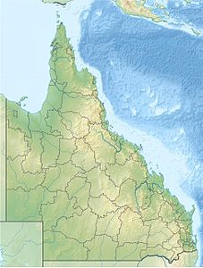
Cid Harbor
| Cid Harbor | ||
|---|---|---|
| Waters | Coral sea | |
| Land mass | Whitsunday Island | |
| Geographical location | 20 ° 15 '56 " S , 148 ° 56' 26" E | |
|
|
||
| width | approx. 500 m | |
| depth | approx. 500 m | |
Cid Harbor is a large, well-protected natural harbor on Whitsunday Island , the largest of the Whitsunday Islands . It is known by sailors, campers and adventurers for its white beaches, unspoiled wilderness and good anchorage.
geography
Cid Harbor is to the west of Whitsunday Island . It is separated from the Whitsunday Passage by Cid Island . The water has a turquoise color and, as the island is a national park, it is crystal clear. On the south bank stretches a high mountain range, which is the highest mountain range on the island with Whitsunday Peak (435 meters) and the Cooks Monument . Cid Harbor is separated from Cid Island by the Hunt Channel . To the east of the bay is another small island: Lady Island . There are two beaches worth mentioning in the natural harbor: Sawmill Beach and Dugong Beach , which are the most famous beaches in the harbor and are good anchorages. There are a few camping tables and a beaten path that connects the two beaches. Camping is possible at the National Park on request.
history
Cid Island was named in 1866 by Commander GS Nares , the commander of HMS Salamander, but the port did not get its official name until 1887 when Lieutenant GE Richards of HMS Paluma described the port. The port was probably named after the island, Cid Island. Nares' diagrams showed the harbor as a well protected and deep anchorage, which is why it became one of the most frequented anchorages in the region. In 1878 the ship Louisa Maria was attacked by Aborigines. There is conflicting information about the location of a freshwater spring.
