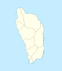
Coulibistrie
| Coulibistrie | ||
|---|---|---|
|
|
||
| Coordinates | 15 ° 28 ′ N , 61 ° 27 ′ W | |
| Basic data | ||
| Country | Dominica | |
| Saint Joseph | ||
| ISO 3166-2 | DM-06 | |
|
Coulibistrie as seen from Batalie Bay .
|
||
Coulibistrie is a village on the west coast of Dominica . It is to the northwest of the Parish Saint Joseph . The neighboring towns are Colihaut in the north and Morne Rachette in the south. The village extends inland along a deep valley along the Coulibistrie River . Many of the buildings are built on the large boulders that cover the valley floor. Tropical storm Erika caused the river to overflow and wreaked havoc on the town.
Coulibistrie is part of the Salisbury constituency in the House of Assembly . The village is administered locally by the Coulibistrie / Morne Rachette Village Council .
The historic Coulibistrie Roman Catholic Church stands at the intersection of the local road with the coastal road.
The Saint Anne village festival is usually held in July.
Individual evidence
- ↑ a b c Paul Crask: Dominica. Bradt Travel Guides , England 2007: 190. ISBN 1-84162-217-6 .
- ^ Local Government Department, Ministry of Social Services Community Development and Gender Affairs: Dominica's Local Government System. Commonwealth of Dominica, November 2002.

