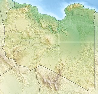
Dar al-Gani
| Dar al-Gani | ||
|---|---|---|
| location | Libya | |
|
|
||
| Coordinates | 27 ° 0 ′ N , 16 ° 0 ′ E | |
| Type | plateau | |
| rock | sediment | |
| Age of the rock | Pliocene to Holocene | |
Dar al-Gani (also Dor el Gani or Dur al Ghani ) is a plateau of maritime sedimentary rock in central Libya about 200 km east of the city of Sabha (coordinates about 27 ° N, 16 ° E). Although Dar al Gani is not listed in the National Atlas of Libya, it is mentioned by F. Woller in the Geological Map of Libya .
A particularly large number of meteorites are found in the Dar al Gani area . The reason for this are special climatic and geological conditions, which greatly slow down the erosion of meteorites. In addition, meteorites with their typical black melt crust are easily noticeable because of the otherwise light background in this area and can therefore be easily found.
See also
literature
- F. Woller: Explanatory Booklet of the Geological Map of Libya 1: 250 000, sheet Al Fuqaha, NG 33.3. , IRC Tripoli, Libya. 1984.
- J. Schlueter et al. (2002) The Dar al Gani meteorite field. In: Meteoritics & Planetary Science , 37, 1079-1093.
