Kharuj
| Kharuj | ||
|---|---|---|
|
The Kharuj basalt plateau seen from space |
||
| Highest peak | Qārat as-Sabʿah ( 1200 m ) | |
| location | Libya | |
|
|
||
| Coordinates | 27 ° 8 ′ N , 17 ° 28 ′ E | |
| Type | Volcanic field | |
| rock | basalt | |
| Age of the rock | Pliocene to Holocene | |
| surface | 45,000 km² | |
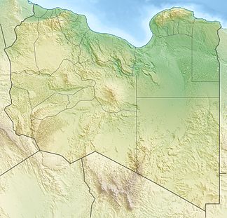
The Kharuj or Kharuj al-Aswad ( Arabic خروج الأسود Charūdsch al-Aswad , DMG Ḫarūǧ al-Aswad 'the black discharge'; According to the English transcription Haruj ) is a Libyan mountain range and basalt plateau up to 1200 m highand lies on the edge of the Sahara .
The summit of the mountain range comprising several volcanic cones is located 280 km east of Sabha and about 400 km south of the city of Sirt , located on the great Syrte . The next oasis is Zella , about 120 km north of the summit. The volcanic massif, located in the middle of a scree and rock desert, is heavily weathered.
It is believed that its last eruption occurred in the Holocene .
Web links
- Charudsch in the Global Volcanism Program of the Smithsonian Institution (English)

