Donington (Lincolnshire)

Coordinates: 52 ° 54 ′ N , 0 ° 12 ′ W
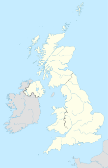
Donington is a parish with market rights and a parish church in the English county of Lincolnshire . It is located 12 km north of Spalding and just as far southwest of Boston on the A52 trunk road. In Donington, this road is called Bicker Road because it connects the village with the neighboring village of Bicker , and near this place it is called Donington Road. Donington also has an old station, but trains no longer stop there, although the line is still in service.
It is a flat moorland that is drained through canals and is mainly used for agriculture. Barges used the Forty Foot Drain to connect to the nearest city of Boston.
Donington is the birthplace of the explorer Matthew Flinders (1774-1814) and the clergyman William Stainton Moses (1839-1892).
Attractions
One of the main attractions is the Anglican parish church “St. Mary and the Holy Rood “is worth mentioning. Its origins go back to the time of the Norman conquest of England. Its tall Gothic tower was built in the 14th century and forms the entrance to the church.
Individual evidence
- ^ Donington , GENUKI, UK & Ireland Genalogy. Retrieved February 9, 2018.
- ↑ St Mary and the Holy Rood , Churches in England. Retrieved February 9, 2018.
Web links
- Donington , GENUKI, UK & Ireland Genalogy.
- St Mary and the Holy Rood , Donington on Churchesinengland.co.uk.
