East Island (Ashmore Islands)
| East Island | ||
|---|---|---|
| Satellite image of the Ashmore Islands , east right | ||
| Waters | Timor Sea ( Indian Ocean ) | |
| Archipelago | Ashmore Islands | |
| Geographical location | 12 ° 15 '40 " S , 123 ° 5' 50" O | |
|
|
||
| surface | 16 ha | |
| Highest elevation | 3 m | |
| Residents | uninhabited | |
| Map of the Ashmore and Cartier Islands | ||
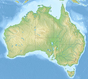
East Island , also called East Islet , is one of three small and uninhabited islands in the Ashmore Islands .
The archipelago is roughly halfway between Australia and Timor and is part of the extraterritorial areas of Australia . The archipelago is about 320 kilometers from the northwest coast of Australia and 144 kilometers from the Indonesian island of Roti .
The island with an area of only 0.16 km² consists of coral rubble and sand, which is partially covered by grass and bushes. Like the other islands in the archipelago, it lies on the edge of the Australian continental shelf . The land areas of the Ashmore and Cartier Islands are a nature reserve that has been expanded to include a marine reserve, the Ashmore Reef National Nature Reserve and Cartier Island Marine Reserve .
Individual evidence
- ↑ a b cia.gov : Ashmore and Cartier Islands , in English, accessed on September 14, 2013
- ↑ eoearth.org : Ashmore and Cartier Islands , in English called, on September 13, 2013
- ^ Regional.gov.au : Ashmore and Cartier Islands , in English, accessed September 13, 2013
- ↑ Ashmore Reef & Cartier Island ( memento September 25, 2010 in the Internet Archive ), accessed on May 7, 2015


