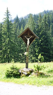
Fluhereck

Fluhereck (also Fluhegg or Luheregg / Lucheregg ) is a plot of land that slopes slightly from northwest to southeast and has historical roots dating back to the Middle Ages and is located in the municipal areas of Dornbirn and Hohenems .
The Alpe Fluhereck / Luheregg ( 1210 m above sea level ) belonging to the parcel , now generally only known as " Pfarrers Älpele " (also: Pfarrersälpele ), was inhabited all year round in the Middle Ages . Today it is only managed seasonally in summer.
location
Pastor's Älpele is about 700 m as the crow flies from Emser Hütte and about 800 m from Ebnit . Around 1/5 of the area of the historic Fluhereck parcel is in the Hohenems municipality and the remainder in the Dornbirn municipality. The Emser Hütte is located on the northwestern edge of the Fluhereck.
Transport links
The Fluhereck can be reached from Dornbirn via the Ebnit and Hohenems - Emsreute . Until the Ebniterstraße was built in 1927, an important connection from Ebnit to the Rhine Valley over the Fluhereck (see: History of Ebniterstraße ). The existing routes are now freight routes and are usually not released for public transport. This is why mountain bikers like to use them.
Waters
Two relevant streams arise in the Fluhereck parcel, which run eastwards into the Ebnitertal - Ebniterache - Dornbirnerach and then into Lake Constance . The brother Bach (Fluheggergraben) with a length of 2.92 km arises in the vicinity of the Emser cabin and extends on the upper, substantially aligned to the north boundary to Beautiful man Alp (formerly Vorderberg). The Tieftobelbach (Kirchwaldgraben / Tüftobelbach) with a length of about 1.8 km has two sources, one of which rises directly in the middle of Fluhereck. The Tieftobelbach joins the Bruderbach at about 0.945 kilometers of water (about 180 m above the Kolping holiday village in the Heumöser plot in Ebnit).
Web links
Individual evidence
- ↑ Martin Wohlgenannt, Development of the alpine economy on the Dornbirner First - Der First in the course of time , 2002.
Coordinates: 47 ° 20 '56.6 " N , 9 ° 43' 38.3" E