Goyder crater

Coordinates: 13 ° 29 ′ S , 135 ° 3 ′ E
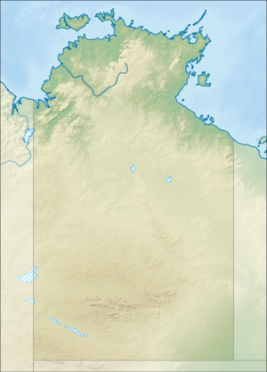
As Goyder crater is an impact structure in the north of Australia referred. The heavily eroded structure is located in Arnhem Land in the Northern Territory and is named after the nearby Goyder River. The impact took place in the sedimentary rock of the McArthur Basin . The deformed area is visible on the surface of the earth and can be recognized by a 3 km large crater ring of broken and discarded sandstones. This part is interpreted as an eroded relic of the central mountain. The original rim of the crater has been eroded for a long time and was believed to have been 9 to 12 km in diameter.
The time of the impact cannot yet be determined exactly, but is probably younger than 1.325 billion years and significantly older than the Cretaceous period (145 million years).
The impact structure is very remote and difficult to access.
The crater was named after the geodesist George Goyder .
swell
- Impact structures of the world Database by Jarmo Molianen.Retrieved October 12, 2010
- Earth Impact Database. Retrieved October 7, 2013
