Heioab
| Heioab | ||
|---|---|---|
|
The Heioab in the restricted area of Namibia (2018). |
||
| Highest peak | 1090 m | |
| location |
ǁKaras , Namibia |
|
|
|
||
| Coordinates | 27 ° 25 ′ S , 15 ° 59 ′ E | |
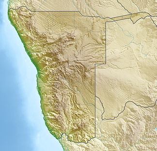
The Heioab ( English Heioab Mountain ) is a mountain range in the Tsau-ǁKhaeb- (restricted area) national park (formerly diamond restricted area ) in the southwest of Namibia . It reaches a height of 1090 m . The extension is about 8 km × 13 km.
The massif is covered in several places by sand that is carried up the mountain during strong sandstorms. The average annual rainfall in this part of the Namib is only a few millimeters. The bushes that occur in the massif only survive thanks to the fog that forms over the cold Atlantic from time to time and drifts far inland during the day. The individual camel thorn trees draw their water from deep underground water reservoirs.
Web links
Individual evidence
- ↑ See the old map of the restricted area issued in Kolmannskuppe
- ↑ Mapcarta. Retrieved May 11, 2018
- ↑ a b The mist desert Namib
- ↑ Precipitation statistics in neighboring Lüderitz.Retrieved on May 11, 2018
- ↑ Camel thorn trees have roots that extend to a depth of 60 m.


