Husabberge
| Husabberge | ||
|---|---|---|
|
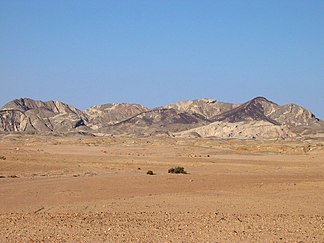
Husabberge from Welwitschia Drive |
||
| Highest peak | Husabberg ( 857 m ) | |
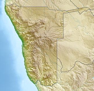
| location | Erongo , Namibia | |
|
|
||
| Coordinates | 22 ° 41 ′ 0 ″ S , 15 ° 7 ′ 0 ″ E | |
| surface | 25 km² | |
The Husab Mountains (also Husab Mountains , English: Husab Mountains ) are a small mountain range north of the Swakoptal in the Erongo region in Namibia . They extend over an area of around 25 km² and lie within the northern foothills of the Namib Desert . The Husab Mountains run over a length of around 10 km in a south-west-north-east direction, parallel to the Khan Rivier further north and the adjacent Klan Mountains and the Rössing Mine .
The highest peak of the Husabberge is the Husabberg at 857 m .
See also
Web links
Commons : Husabberge - Collection of images, videos and audio files
Individual evidence
- ↑ Husabberge on Mapcarta.Retrieved November 21, 2018


