Isteren
| Isteren | ||
|---|---|---|

|
||
| Isteren with its many small islands | ||
| Geographical location | Innlandet ( Norway ) | |
| Tributaries | Glöta from Femundsee | |
| Drain | Isterfossen → Trysilelva | |
| Data | ||
| Coordinates | 62 ° 1 ′ N , 11 ° 46 ′ E | |
|
|
||
| Altitude above sea level | 642 moh. | |
| surface | 28.97 km² | |
| length | 18 km | |
| Maximum depth | 45 m | |
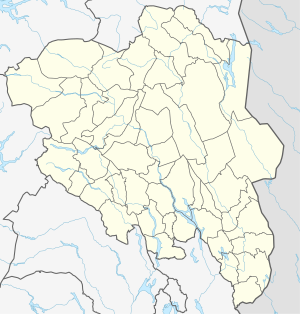
The Isteren is an 18-kilometer-long lake in the Femundsmarka in the province Innlandet in Norway . Its greatest depth is 45 meters. The lake surface is 642 meters above sea level. The many smaller islands and numerous sandy beaches are characteristic of the lake. Its temperature in summer is higher than that of the neighboring Femundsee due to its shallower depth . The lake is privately owned, which is why it is not allowed to fish on it with a fishing permit from the municipality. The main tributary is the Glöta, which comes from the Femundsee. The outflow from the lake is called Isterfossen and flows directly into another lake, the Galthaen .
See also
Individual evidence
- ↑ Gerd Kassel: "Canoe tours in Canoeing Femund", Pollner Verlag, 1999
- ↑ http://www.traveljournals.net/explore/norway/map/m404957/isteren.html ( page no longer available , search in web archives ) Info: The link was automatically marked as defective. Please check the link according to the instructions and then remove this notice.
