Jezioro Mikołajskie
|
Jezioro Mikołajskie Nikolaik lake |
||
|---|---|---|

|
||
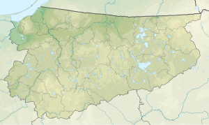
| Geographical location | Mikołajki (Nikolaiken), Powiat Mrągowski , Warmian-Masurian Voivodeship , Poland | |
| Tributaries | from Jezioro Tałty and Jezioro Bełdany | |
| Drain | to Śniardwy | |
| Places on the shore | Mikołajki | |
| Data | ||
| Coordinates | 53 ° 46 '22 " N , 21 ° 36' 2" E | |
|
|
||
| surface | 5 km² | |
| length | 5.8 km | |
| width | 1.6 km | |
| Maximum depth | 25.9 m | |
Jezioro Mikołajskie (German: Nikolaiker See ) is a lake in the area of the Polish town of Mikołajki (German Nikolaiken ) in the Powiat Mrągowski in the Warmian-Masurian Voivodeship .
The lake is approx. 5.8 km long, a maximum of 1.6 km wide and 5 km² in size. It is up to 25.9 m deep. To the north is the Jezioro Tałty (German Talter waters ) and southwest of the Jezioro Bełdany (German Beldahnsee ). In a south-easterly direction, the Nikolaiker See is connected by a narrow canal with the Śniardwy (German Spirdingsee ), the largest lake in Poland. All four belong to the Masurian Lake District .
