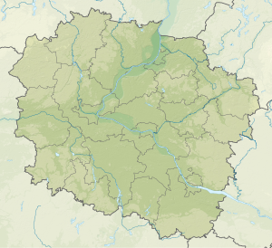
Jezioro Wielkie Rudnickie
|
Jezioro Wielkie Rudnickie Jezioro Rudnickie Wielkie Rudnicker See |
||
|---|---|---|

|
||
| View of the lake from the city beach | ||
| Geographical location | Grudziądz , Kuyavian-Pomeranian Voivodeship , Poland | |
| Drain | Trynka → Vistula | |
| Islands | one (0.7 ha) | |
| Data | ||
| Coordinates | 53 ° 29 ′ 46 " N , 18 ° 49 ′ 20" E | |
|
|
||
| Altitude above sea level | 22.6 m npm | |
| surface | 1.777 km² | |
| Maximum depth | 11.5 m | |
The Jezioro Wielkie Rudnickie (German: Rudnicker See ) is a flowing lake in Grudziądz with an area of 177.7 ha and a maximum depth of 11.5 m. The water level of the lake is 22.6 m above sea level. On the lake there is an island with an area of 0.7 ha. In the years from 1960 to 1970 the lake was covered with ice for an average of 130 days. In 1982 two pipelines were laid on the lake floor: 312 m and 565 m long. The third pipeline with a length of 360 m was installed on September 16, 1990 to divert nutrient-rich, oxygen-free deep water into the Rudniczanka River. See: Olszewski tube .
On the shores of the lake there are many holiday homes, sports and tourist equipment rentals, small eateries, campsites, beaches, rowing ports and sailing centers. There are forests around the lake. This place is visited by both residents of Grudziądz and other people, not only in summer but also at other times of the year.
literature
- Otremba Z .: Miejscowości powiatu grudziądzkiego , Gdańsk: wyd. Regnum, 2002, ISBN 83-907707-7-6 , OCLC 830373351.
