Kachibona Lake
| Kachibona Lake | ||
|---|---|---|
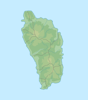
| Geographical location | Saint Joseph , Dominica | |
| Tributaries | Coulibistrie River | |
| Drain | Coulibistrie River | |
| Data | ||
| Coordinates | 15 ° 29 '24 .1 " N , 61 ° 24' 28.6" W | |
|
|
||
| Altitude above sea level | 780 m | |
| length | 200 m | |
The Kachibona Lake is a small lake in the highlands of the Morne Diablotins ( Macatrin ).
geography
The lake is fed by a source stream of the Coulibistrie River , which also forms the drain. It lies at an altitude of 780 meters above sea level; it is only about 200 m in diameter.
In the 18th and early 19th centuries, the area around the lake served as a retreat for runaway slaves ( Negres Marons / negres mawons), including those of the leader Pharcelle .
Individual evidence
swell
- Michal Kasprowski: Commonwealth of Dominica Street Map. (1: 40,000, customized printing).
literature
- Paul Crask: Dominica. Bradt Travel Guides 2016: 220. ISBN 1784770310 , 9781784770310
