Map of the German Empire (Carl Vogel)
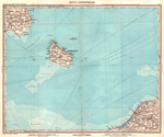
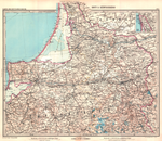
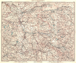
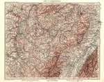
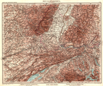
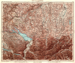
The map of the German Empire is a topographic map series for the German Empire on a scale of 1: 500,000 by Carl Vogel (1828–1897). It was published in 1893 in 27 color lithographed sheets by the Perthes publishing house in Gotha .
Distinction
This map series is to be distinguished from the map of the German Reich (General Staff map ) on a scale of 1: 100,000.
leaves

|

|
|

|
|
|

|

|

|

|

|

|

|

|

|
|

|
|

|

|

|

|

|
|
|

|

|
|||
|
|

|
See also
Web links
Commons : Map of the German Empire (Carl Vogel) - Collection of images, videos and audio files
