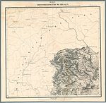
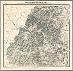
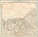
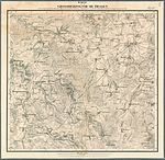
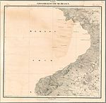
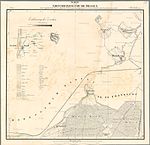
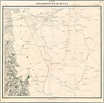
Map of the Grand Duchy of Hesse
The map of the Grand Duchy of Hesse is a map series . It consists of 32 sheets on a scale of 1: 50,000. It dates from 1823 to 1850.
Its full title reads: "Map of the Grand Duchy of Hesse: included in the trigonometric network of the general land survey by the Grand Ducal Hessian General Quartermaster."
Card cut
See also
Web links
Commons : Historical map of the Grand Duchy of Hesse - collection of images, videos and audio files
Individual evidence
- ↑ Historical maps. In: Hessian Administration for Land Management and Geoinformation.
- ↑ Grand Duchy of Hesse . Historical maps. In: Landesgeschichtliches Informationssystem Hessen (LAGIS).


