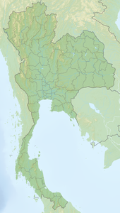
Ko Surin
| Ko Surin | ||
|---|---|---|
| Waters | Andaman Sea | |
| Geographical location | 9 ° 25 ' N , 97 ° 52' E | |
|
|
||
| Number of islands | 6th | |
| Main island | Ko Surin Nuea | |
| Total land area | 33 km² | |
Ko Surin ( Thai : หมู่ เกาะ สุรินทร์ , pronunciation: [ mùː kɔ̀ʔ sùʔrin ], German: Surin Islands ) is a Thai archipelago in the Andaman Sea , it belongs to the Tambon Ko Phra Thong, Amphoe Khura Buri , in the province of Phang Nga . Moken families live on the islands.
geography
The archipelago is about 55 km from the mainland and consists of five islands, the two main inhabited islands Ko Surin Nuea (North Island) and Ko Surin Tai (South Island), as well as the three smaller islands Ko Satok, Ko Pachumba and Ko Torinla and the rock Hin Rap.
National park
The Mu Ko Surin National Park has an area of 141.25 km². It includes the Surin Islands and the sea around them. The protected areas of around 108 km² or 80% of the area are in the sea. The park was declared the 29th National Park of Thailand on July 9, 1981. The Mu Ko Surin is known for its unique underwater world.
See also
Web links
Individual evidence
- ^ GeoNames
- ↑ Department of National Parks - Mu Ko Surin National Park ( Memento of the original from March 26, 2016 in the Internet Archive ) Info: The archive link was inserted automatically and has not yet been checked. Please check the original and archive link according to the instructions and then remove this notice.


