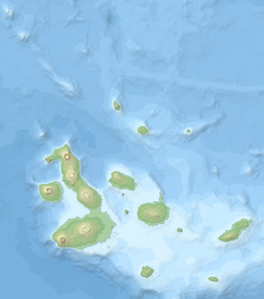
La Cumbre (Fernandina)
| Darwin | ||
|---|---|---|
|
Aerial photo taken in 2007 from the ISS |
||
| height | 1476 m | |
| location | Galápagos - Fernandina Island | |
| Coordinates | 0 ° 22 ′ 12 ″ S , 91 ° 33 ′ 0 ″ W | |
|
|
||
| Type | Shield volcano | |
| rock | Basalt / Picrit | |
| Last eruption | 2018 | |
The La Cumbre is a shield volcano on Fernandina , one of about Ecuador counting Galapagos Islands . It is the volcano that is closest to the plume below the archipelago and is therefore considered to be the most active in the archipelago. The last outbreaks occurred in September 2017 and June 2018.
The summit of La Cumbre is characterized by a 6.5 by 5 kilometer caldera that is subject to constant changes. In an explosive eruption in 1968, its bottom plunged about 350 meters, in 1988 a part of the east wall of almost a cubic kilometer fell into it and in the process buried a crater lake located there . The caldera is also repeatedly filled with lava from crevices in its walls.
Web links
- La Cumbre in the Global Volcanism Program of the Smithsonian Institution (English)
- La Cumbre at Volcanodiscovery.com (English)

