La Cura
| La Cura | ||
|---|---|---|
| Waters | Venice lagoon | |
| Geographical location | 45 ° 30 '19 " N , 12 ° 26' 31" E | |
|
|
||
| surface | 8.13 ha | |
| Residents | uninhabited | |
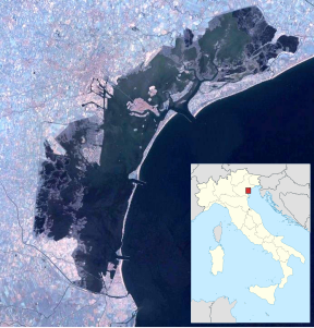
In La Cura is a small, roughly triangular island in the northern lagoon of Venice . It has an area of 0.0813 km² or just over 8 hectares and is located northeast of Torcello .
history
The island was part of the late antique-early medieval city of Costanziaco , more precisely of Costanziaco Minore , of which archaeological investigations brought to light remains from the 7th century, but also findings from Roman times. A Roman oil lamp was found in the west of the island , as well as numerous other remains from antiquity .
Some wooden stakes in the south of the island can be dated between 695 and 935. On the shallow canal that divides the island from west to east, there were further stakes from the period between 990 and 1150, as well as Byzantine pottery, tesserae for the production of ancient mosaics, amphorae , marble blocks worked in Byzantium, tableware and ceramics. The monastery of SS. Giovanni e Paolo in the east of the island has also been archaeologically proven, but no excavations could be carried out, only explorations that refer to the corresponding course of the wall.
South of the island remains of paths and in 1978 a tower with an area of 7 by 7 m were found. In the same year, on the southern edge of the island, the remains of a house were found, the walls of which were 50 cm thick and which, which is almost unique in the lagoon, partially towered more than a meter. It was the remains of the parish church, which is described in a document dated September 2, 1284. La Cura was home to two churches dedicated to Saints Sergio e Bacco ( Bakchos and Sergios ) and S. Matteo ( Matthew ).
With the rising sea level, the central town was gradually depopulated and finally abandoned around 1450. The islands often became so-called Valli da Pesca , flat, permanently or mostly underwater areas that were suitable for catching marine animals. Farmhouses and a cavana , a mooring and repair station for boats, were built on the island .
Individual farms still existed on the island in the middle of the 18th century, as can be seen from a view by Tommaso Scalfurotto from 1755. In 1999 the island was deserted.
literature
- Ernesto Canal : Archeologia della laguna di Venezia , Venice 2015, pp. 346–351.
Web links
- La Cura, website of the Comune di Venezia ( memento of September 19, 2009 in the Internet Archive ), archive.org, September 18, 2009
Remarks
- ↑ Venice Islands ( memento of March 24, 2009 in the Internet Archive ).
- ^ Ernesto Canal : Archeologia della laguna di Venezia , Venice 2015, p. 349.
- ^ Ernesto Canal: Archeologia della laguna di Venezia , Venice 2015, p. 348.
